FAA Part 107 Certified · Veteran-Owned
Precision
From Above
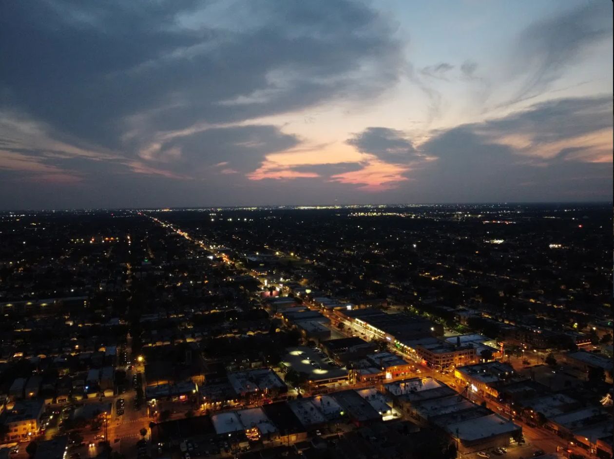
Aerial imaging, 3D mapping, and industrial inspection services for construction, real estate, and energy sectors across Texas.
Request a Quote →
FAA Part 107 Certified · Veteran-Owned
Aerial imaging, 3D mapping, and industrial inspection services for construction, real estate, and energy sectors across Texas.
Request a Quote →
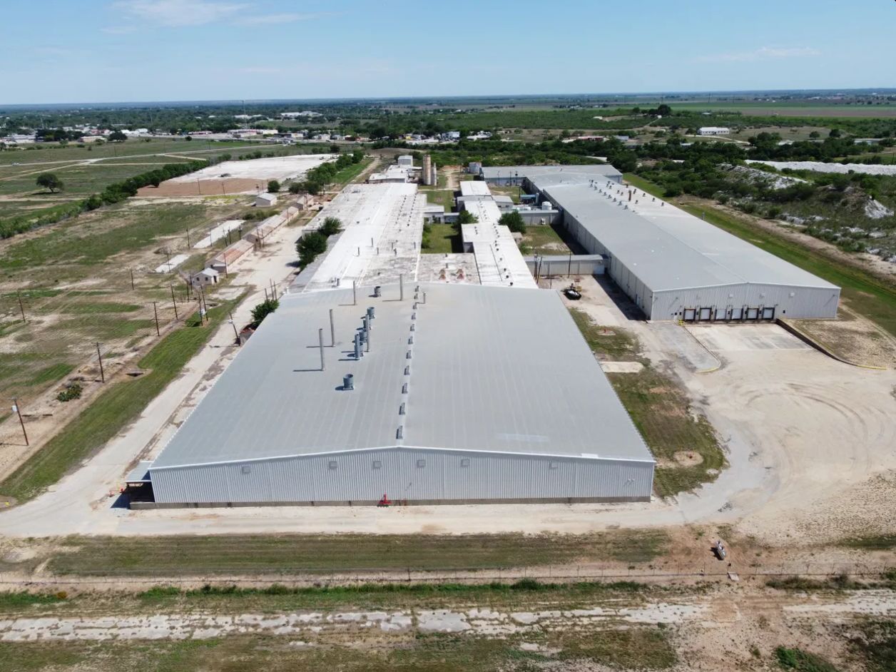




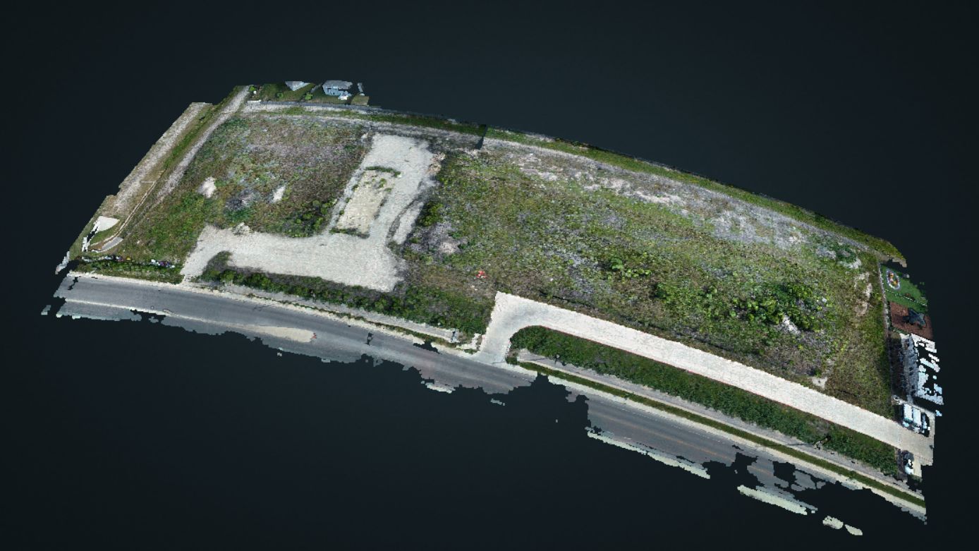
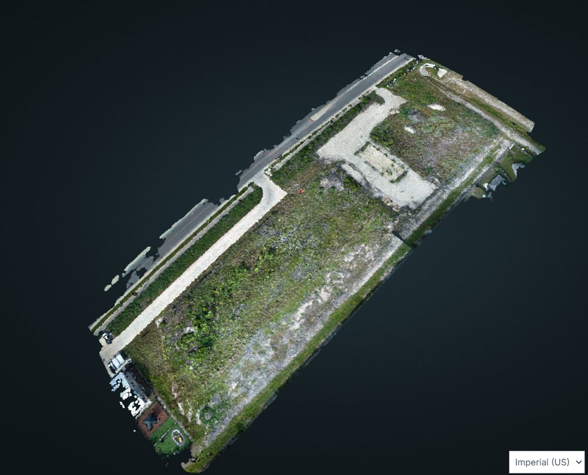
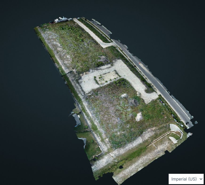
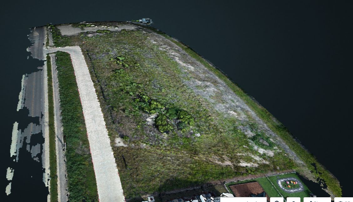
High-accuracy point cloud and mesh models for site planning, volumetric analysis, and progress documentation.
Listing aerials, exterior context shots, and property showcase imagery for residential and commercial real estate.
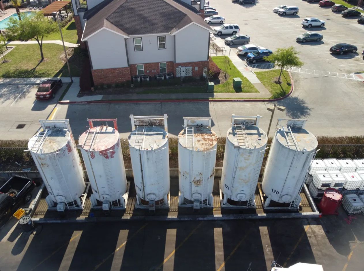
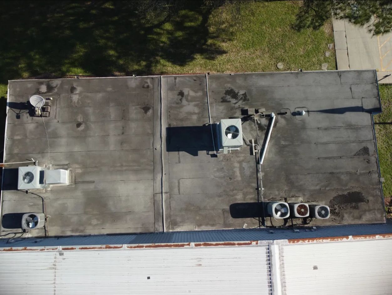
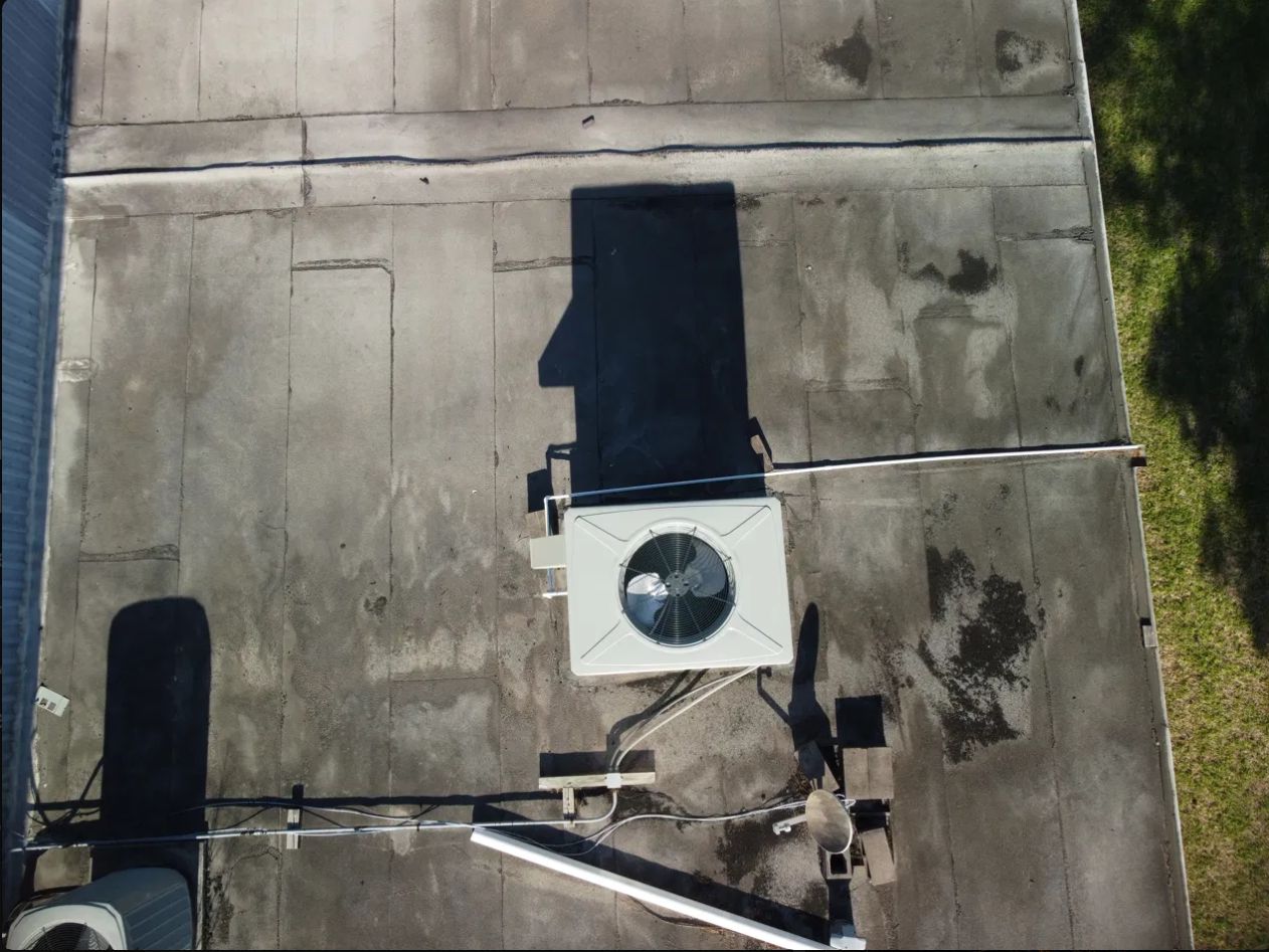
Roof surveys, tank farm documentation, and facility overviews — reducing risk and eliminating the need for scaffolding.
Optical gas imaging for LDAR compliance and pipeline integrity — purpose-built for the oil and gas sector.
Contact us to discuss your project — fast turnaround, certified pilots, deliverable-ready data.